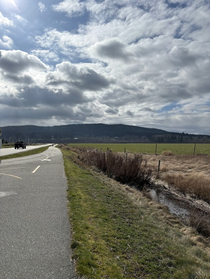
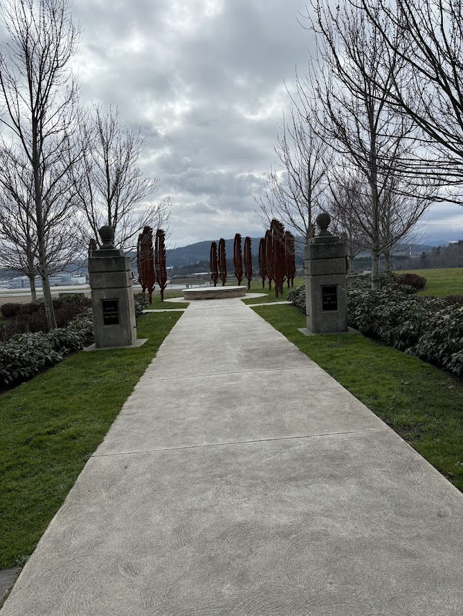
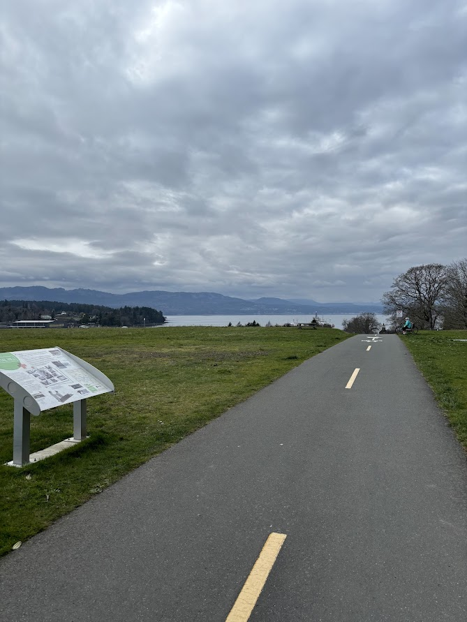
Over the weekend, I did the 10km walk around the airport called the flight path. The flight path is a paved trail that follows the boarder of the airport and its surrounding grounds. the path is well paved, few inclines and easily accessible for anyone with a wheel chair or other aids for moving. there are a variety of benches throughout the walk if you need to take a break, and there is also parking all along the path so you can park at any point of the trail and walk however far you want.
The airport and the land surrounding it is rich with history. Throughout the walk there are information boards where you can read up on the brief history of the location you are at. On these boards, you will also find a map of the path that will show you where abouts you are.
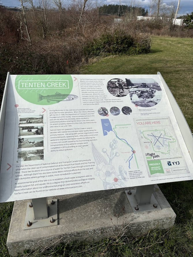
While reading the board above, I learned that there is a creek that boarders the airport. This creek used to be a serious salmon habitat, however, during the second world war when the airport was used for military purposes, the creek became severally polluted. this resulted in a decline of salmon population in the creek. However, recent environmental projects have cleaned up the creek to allow the salmon to return.
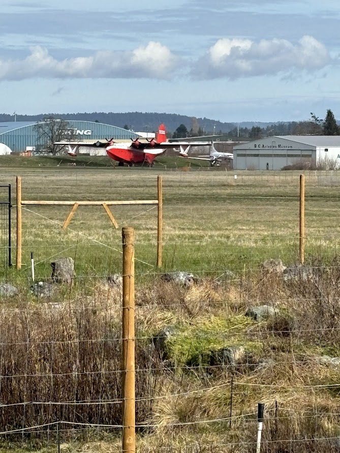
This path not only boarders the airport, but the British Columbia Aviation Museum. It is very cool to walk past as there are usually historical airplanes outside of the museum. The Historic Martin Mars water bomber is outside of the aviation museum after it took its final flight over the summer, and this will be its new home. Popping into the museum could be a fun way to break up the walk for those who may need a quick break.
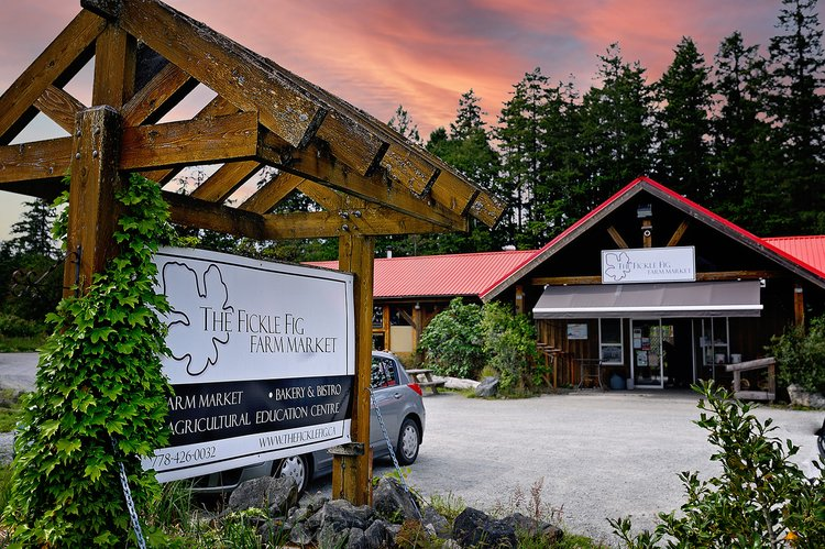
There are a couple of cafes/ markets where you can stop and have a bit to eat and something to drink as another way to split up you walk. Mary’s Bleue Moon Café is located on Canora Rd, and is a great family restaurant where you can stop for a bite to eat. The Fickle Fig Farm Market is located on Beacon Avenue and is a beautiful place to relax, have some pastries, and enjoy the beautiful scenery.
Overall, I think that this is an excellent walk for everyone. It is also a great place to run and bike and allows you to modify it to your skill ability.
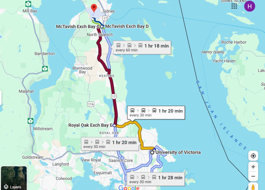
It is a distance from UVIC, however, while a long journey, there are buses that can take you from UVIC to the airport. While you are out there, you can also explore the town of Sydney, as it is very beautiful and full of things to do.
Below I have included the directions and bus routes from UVIC that will take you to the airport.
University of Victoria to Victoria International Airport – Google Maps